CITIZENLIBRARY.ORG · COLORADO · REVIEW EDITION
District 2: A Closer Look
From Boulder and Fort Collins to the high country.
Read the map and the source together.
Boulder is in Colorado’s Second Congressional District. The district connects Front Range cities, rural communities and mountain towns. Current congressional record ↗
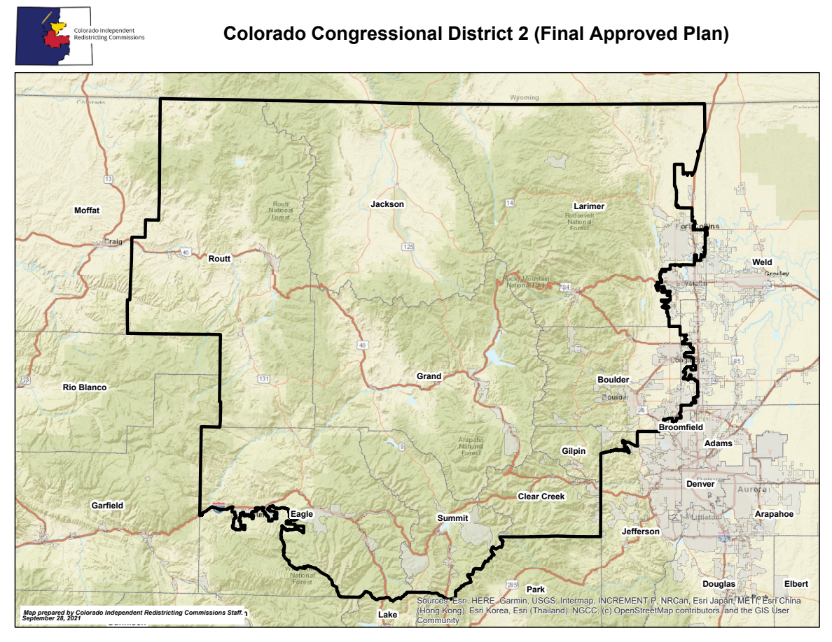
Why county counts differ
The commission’s CD2 data sheet lists 12 county intersections; the member’s overview names 11. The 2021 county-splits report shows a zero-population Broomfield intersection. Neither a county name nor that intersection proves where a resident is represented.
CD2 data sheet, 2022–2031 ↗ · County splits report (September 28, 2021) ↗ · Joe Neguse district overview ↗
Plan dates and final adjustments
The official overview rendering is from the 2021 adopted plan. The commission identifies minor adjustments approved March 18, 2022. Use the final files for boundary work and official lookups for a residence.
Independent and nonpartisan. No advertising or sales. Sources · Updates · Corrections

